Pensacola may be the name you know first. The place that feels like home might be across the bay, down the beach, north of town—or somewhere you haven't heard of yet.
Places belong on a map.Choose a county. Pick a community. We'll give you the feel of it in about 30 seconds. Tap Learn More when you want the story behind it.
The local view
Northwest Florida is more than one postcard.
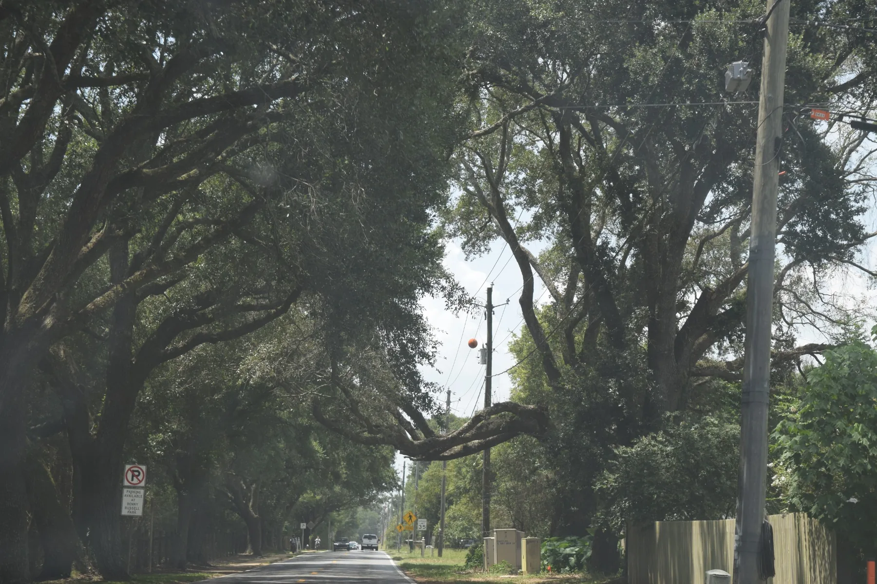
The beaches get the headlines. Living here can also mean old streets under live oaks, a river town with a story, military jets overhead, or a neighborhood you would never have known to search by name.
That is why we built this section around a map instead of a list.
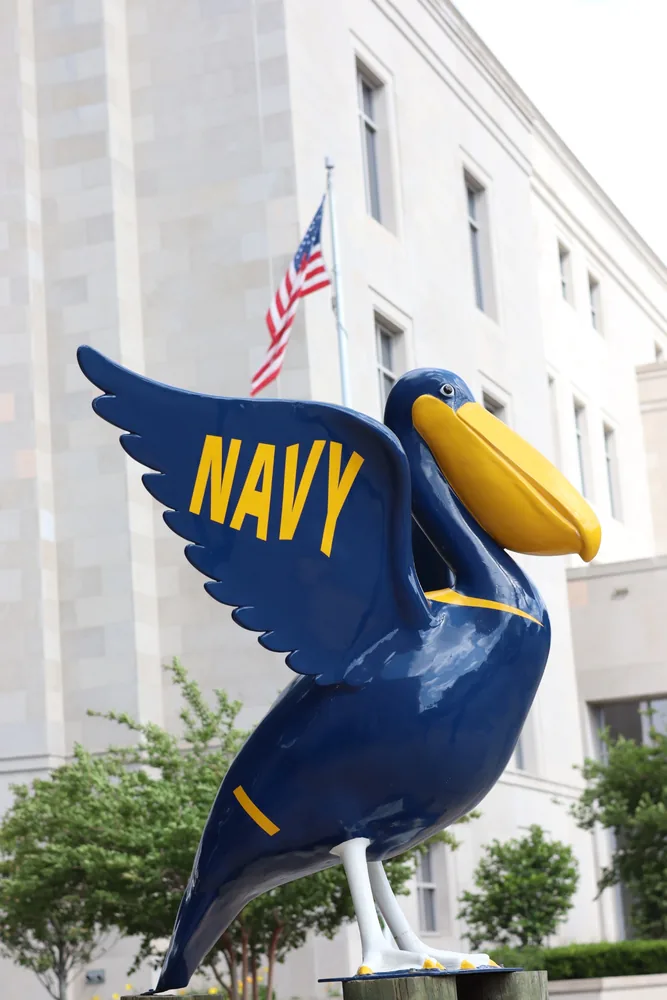
Old streets & live oaksThere is a lot more here than sand.Barrier islands & Gulf waterAnd yes, the sand is pretty spectacular.Naval aviation overheadIn Pensacola, sometimes you just look up.
Where should we start?
Three counties. A lot of different ways to live here.
We show you the whole map. You tell us where you feel at home.
Gulf of Mexico
Northwest Florida › Escambia County
More than Pensacola. More ways to feel at home.
Escambia County stretches from the Alabama line to the Gulf. Historic streets, military communities, beaches, bayous and room to spread out can all be part of the same county.
Northwest Florida › Santa Rosa County
Across the bay, the choices change again.
Santa Rosa County runs from growing communities north of the bay to Gulf-front living on Santa Rosa Island. The commute, the water and the amount of room you want all reshape the map.
Northwest Florida › Okaloosa County
Okaloosa County is Coming Soon.
Fort Walton Beach, Niceville, Destin and Crestview are Coming Soon. We're finishing those stories before we invite you in.
Coming SoonOkaloosa
Same idea: quick sense of place first, deeper local story when you want it.
Explore Our Areas
Area boundaries are approximate and are intended as general guides. Each area may include multiple neighborhoods and subdivisions and does not represent an official municipal, subdivision or school-zone designation.
Pensacola
Now let's get closer.
Tap an area. We'll give you the feel of it without making you read a chapter on your phone.
Pensacola › East Hill
East Hill
Old houses. Big trees. Plenty of personality.
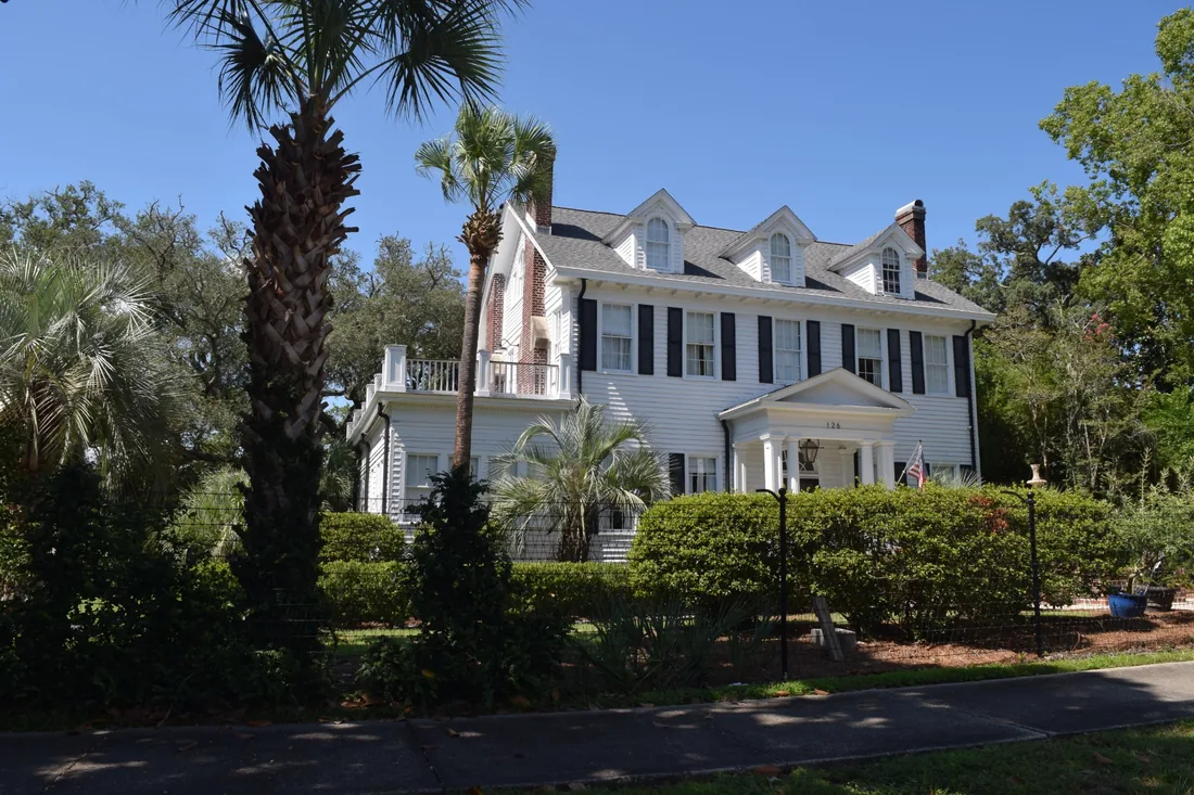
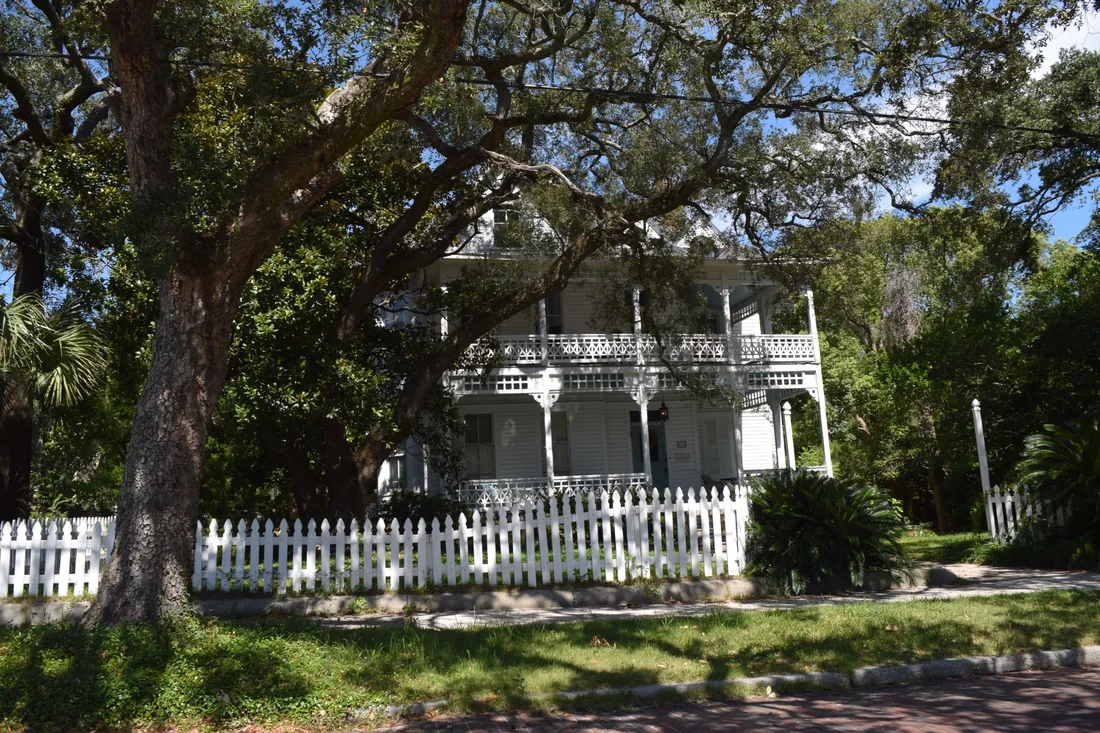
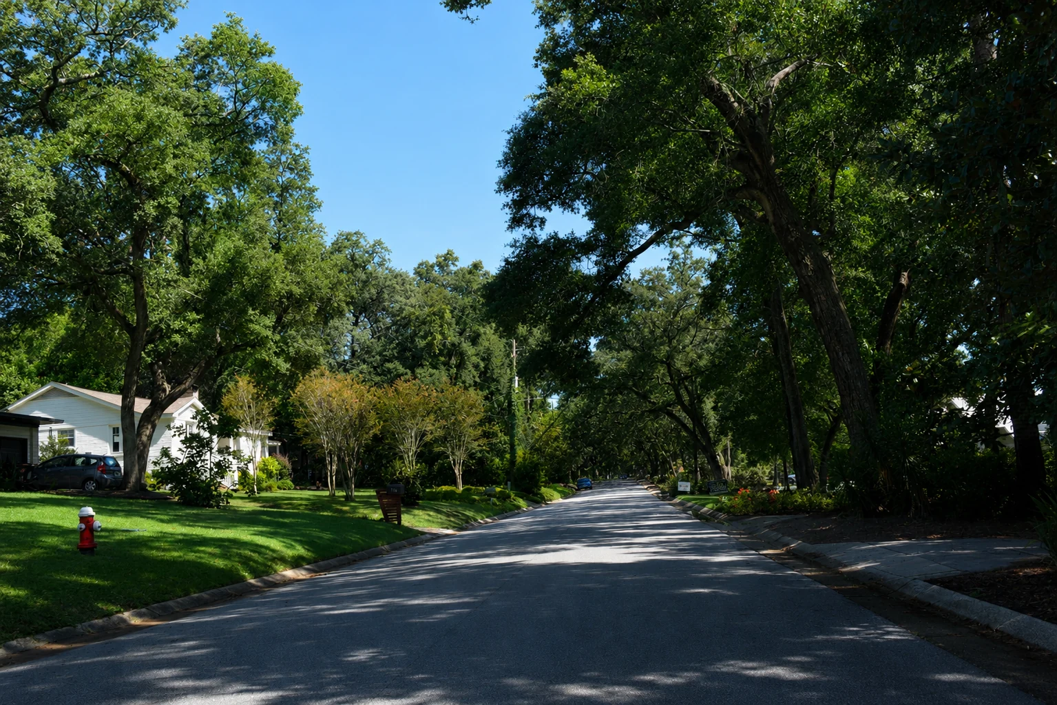
If you tell us you're curious about East Hill, we're probably going for a drive. Mature live oaks shade streets lined with bungalows, cottages, beautifully restored older homes and newer ones mixed in between. Bayview Park and Bayou Texar bring the water into the neighborhood, while Downtown, the airport, restaurants and everyday conveniences are surprisingly close. East Hill can change within a few blocks—so wait for that moment when you point out the window and say, “Yeah. More like this.”
Want the story behind it?There's a lot hiding beneath those live oaks—including the story of 744 neighbors who banded together to protect part of their neighborhood.
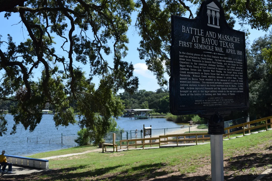
By the early 1980s, residents of Old East Hill were worried that development and demolition could erase the character of one of Pensacola's older neighborhoods. They organized, formed the East Hill Preservation Association and pushed for preservation protections. In 1984, a petition supporting the district carried 744 residents' signatures, and the neighborhood association helped draft the preservation ordinance. The official Old East Hill Preservation District covers only part of the larger area people commonly call East Hill, so preservation rules matter property by property. Bayview Park also carries a much older and more difficult story: in 1818, during Andrew Jackson's campaign into Spanish Florida, nearly 30 Muscogee women and children were killed near Bayou Texar. A historical marker at the park remembers the event today.
Pensacola › Downtown Pensacola
Downtown Pensacola
Park the car. You'll miss too much from the windshield.
Downtown Pensacola is much more than Palafox Street. Walk a few blocks and restaurants, galleries and entertainment give way to historic homes, parks and Pensacola Bay. Living here means being part of that energy—Gallery Night, festivals and the Mardi Gras, Fiesta of Five Flags and Christmas parades can happen practically outside your door. And on an ordinary Tuesday, you can walk to dinner or wander toward the waterfront.
Want the story behind it?A 250-year-old street plan, Andrew and Rachel Jackson—and a seafood market that started on a front porch.
Pensacola's Downtown street pattern is older than the United States. The British took control in 1763 and laid out a formal street grid around today's historic core. In 1821, Spain formally transferred Florida to the United States in Plaza Ferdinand VII, where Andrew Jackson accepted possession. Rachel Jackson was less impressed with Pensacola's enthusiastic Sunday drinking, and new rules soon followed. Nearby, Joe and Anna Patti began selling fish from the front porch of their DeVilliers Street home in the early 1930s. That family operation became Joe Patti's Seafood Market—one of those Pensacola places locals mention as though no explanation is necessary.
Pensacola › North Hill
North Hill
This is where old Pensacola showed off a little.
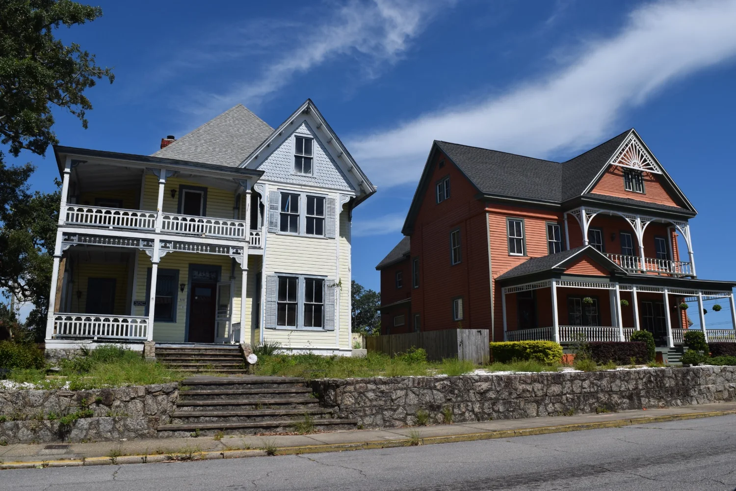
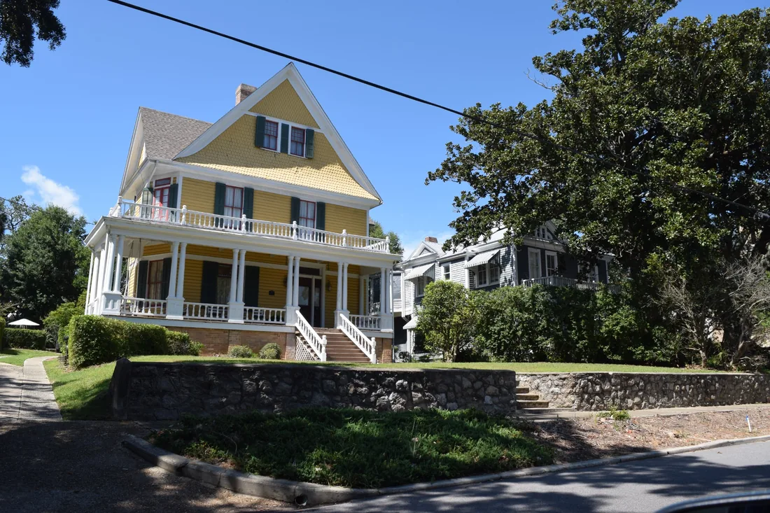
Drive north from Downtown and the houses start getting bigger. The porches get grander. North Hill grew as Pensacola's lumber, railroad and maritime economy created considerable wealth, leaving an extraordinary mix of Queen Anne, Classical Revival, Tudor, Mediterranean, Craftsman and other styles. It's close to Downtown without feeling like Downtown—and if old-house architecture makes you slow down, North Hill deserves a drive.
Want the story behind it?Yes, people really called it “Snob Hill”—and one startling modern house has a Yale connection.
North Hill became one of Pensacola's fashionable addresses during the late 1800s and early 1900s and eventually picked up the nickname “Snob Hill.” The architecture is the better legacy. Among the traditional houses sits a striking 1953 modern residence by architect Paul Rudolph, who later led Yale's School of Architecture and became one of America's important modernists. Parts of North Hill are protected by historic-preservation regulations, which helps preserve the character and also means exterior changes can come with rules.
Pensacola › Cordova Park
Cordova Park
This one tends to sneak up on people.
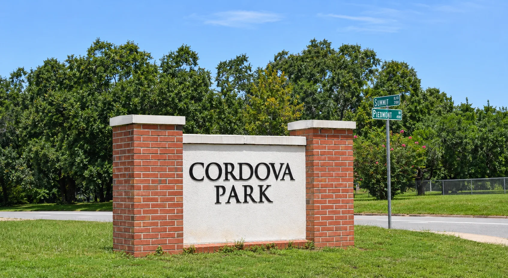
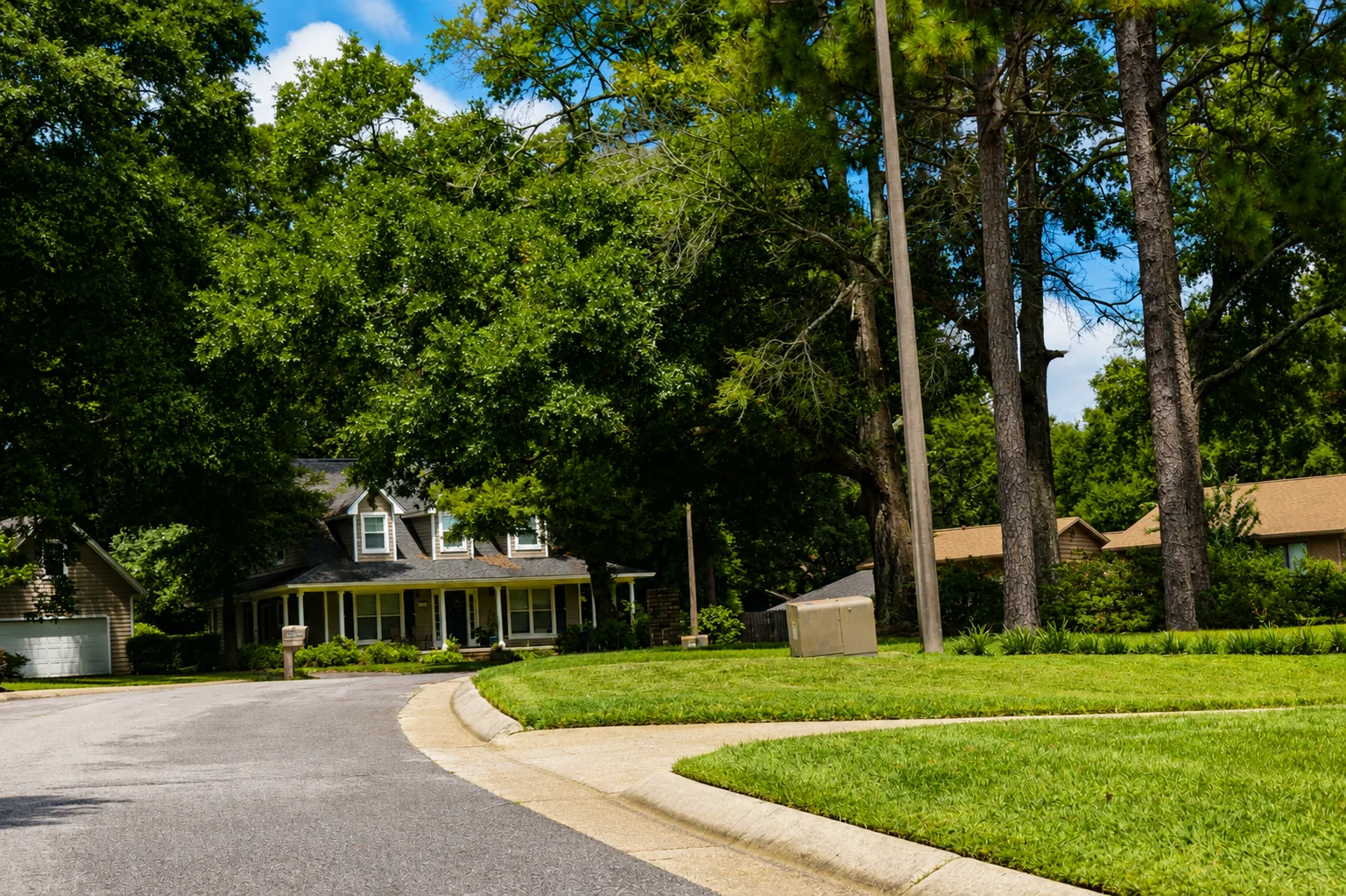
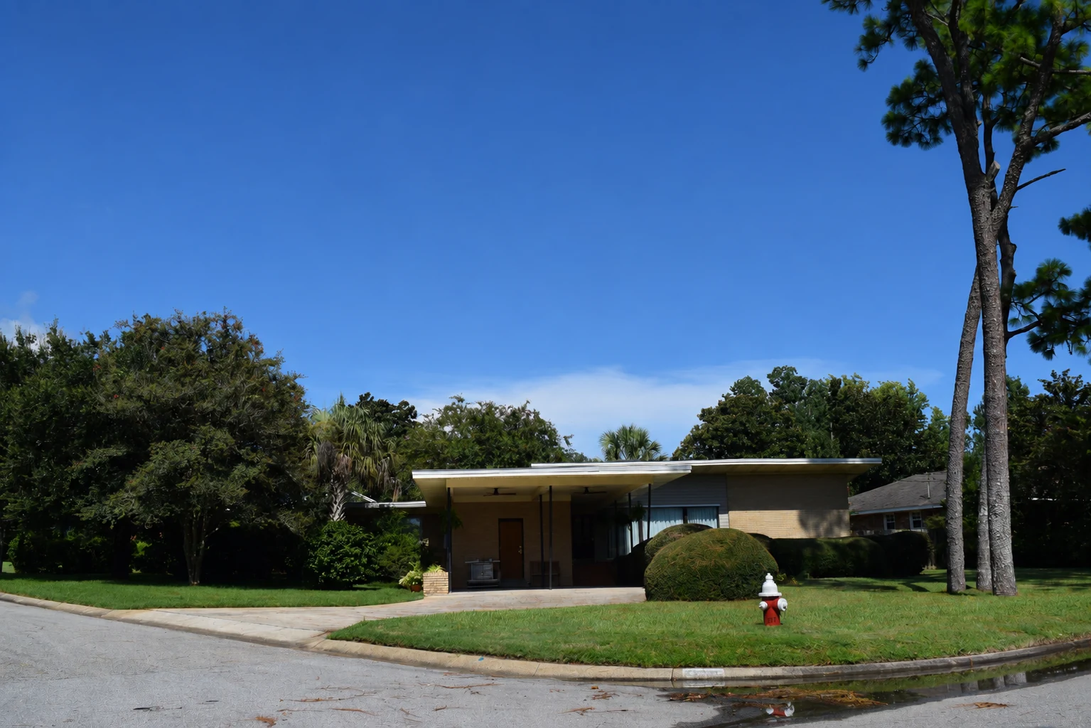
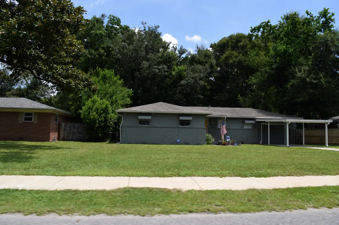
Tell us you want an established neighborhood with mature trees, a yard, easy access to shopping and restaurants, and a location that makes everyday Pensacola pretty convenient. At some point, we're probably going to say, “We should show you Cordova Park.” Brick ranches, mid-century homes, remodeled properties and newer homes sit near Bayou Texar and Bayou DuPont, with the airport, healthcare and Downtown all close by.
Want the story behind it?Those surrounding bayous were attracting people thousands of years before there was a Cordova Park.
Water explains more of Cordova Park than the modern street map does. Bayou Texar, Bayou DuPont and Pensacola Bay drew people long before today's houses existed. Archaeological evidence throughout the Pensacola Bay system documents Indigenous use of these waterways for fishing, gathering, travel and settlement. The suburban Cordova Park we recognize came much later, as Pensacola expanded during the 20th century. Then the city kept growing around it—shopping, the airport, healthcare and restaurants moved closer until a once-outlying suburban neighborhood became remarkably central.
Pensacola › Nine Mile Road / UWF Corridor
Nine Mile Road / UWF Corridor
This is the part of Pensacola that keeps changing.
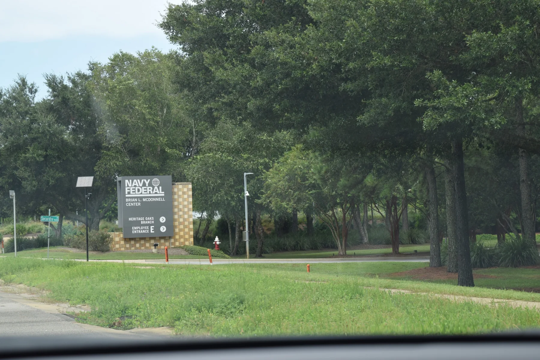
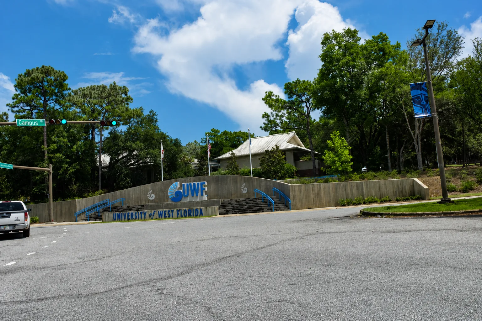
Start near the University of West Florida and head west on Nine Mile Road and you'll see a different Pensacola. UWF's wooded campus gives way to restaurants, shopping, healthcare and residential development. Keep going and established neighborhoods mix with newer communities toward Beulah and the Navy Federal complex. Here's our advice: get off Nine Mile Road. The residential streets are where you discover whether this part of town actually fits.
Want the story behind it?A university at one end and one of Northwest Florida's largest employment centers at the other helped transform this corridor.
People who remember a more rural Nine Mile Road have watched two big anchors reshape the corridor. UWF opened in 1967 on roughly 1,600 wooded acres near the Escambia River, bringing students, employees and new housing demand. Development pushed west, aided by Highway 29, Pine Forest Road and I-10. Then Navy Federal built its major Beulah-area campus, eventually bringing thousands of jobs to what had been a much more rural part of Escambia County. Houses, apartments, retail, healthcare—and traffic—followed.
Pensacola › Scenic Highway
Scenic Highway
This is the Pensacola drive that earns its name.
Scenic Highway follows the bluffs above Escambia Bay along Pensacola's eastern edge, and it feels different from most of the city. Mature trees, changing elevations, occasional bay views and pockets of homes tucked above and below the road give the corridor its character. If you're looking here, we'd pay attention to the lot as closely as the house—elevation, drainage, slope, access and proximity to the bay can all matter.
Want the story behind it?Scenic Highway became Florida's first officially designated Scenic Highway—and the bluffs beside it include some of Pensacola's highest natural elevations.
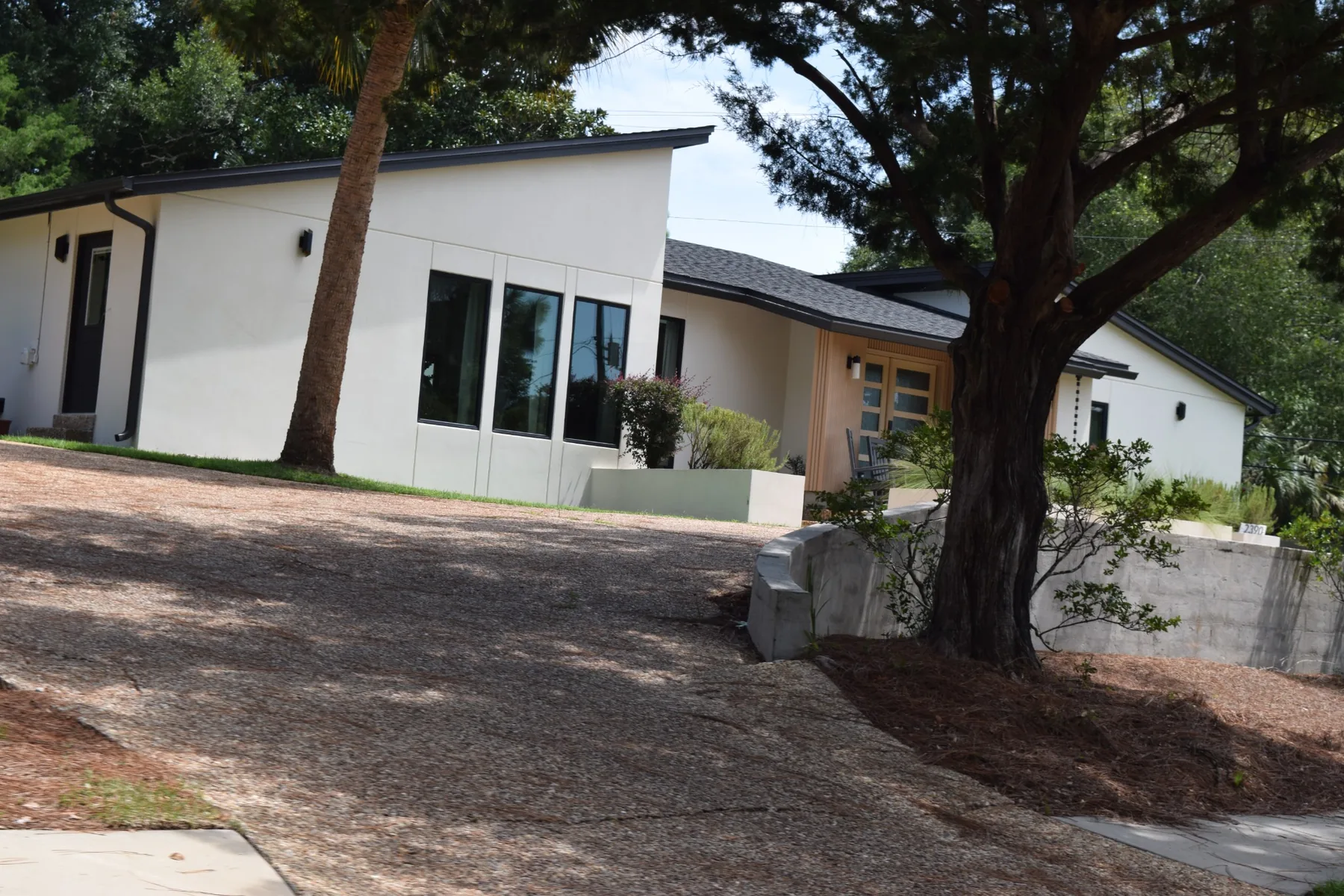
The bluffs overlooking Escambia Bay are one of the defining natural features of northeast Pensacola. In 1998, Scenic Highway became Florida's first officially designated Scenic Highway, recognizing the corridor's landscape, historic resources and views. Long before that designation, the high ground and bay shoreline shaped how people traveled and settled along this side of Pensacola. Today those same elevations create some memorable views—and practical real-estate considerations. Sloping lots, drainage, erosion, retaining walls and even driveway grades can vary considerably from one property to the next.
Pensacola › Scenic Heights
Scenic Heights
Established, convenient—and easy to overlook until you drive it.
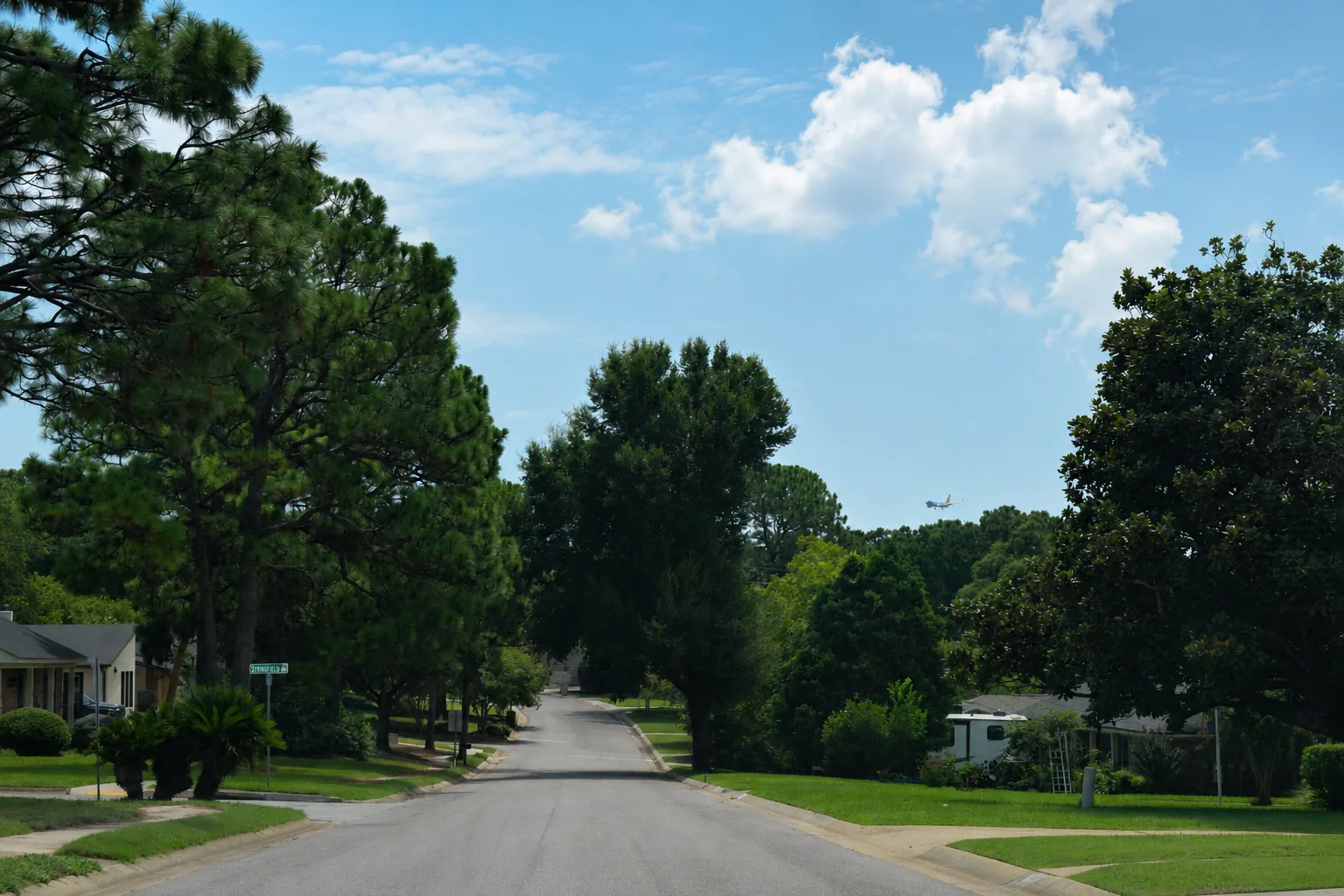
Scenic Heights sits in northeast Pensacola just west of the Scenic Highway corridor. It's an established residential area where brick ranches, mid-century homes, remodeled properties and quiet interior streets mix with quick access to the airport, Cordova-area shopping, healthcare, schools and I-10. This is one of those places where the main roads don't tell the whole story. Turn into the neighborhood and drive a few blocks before deciding what you think.
Want the story behind it?Scenic Heights grew as Pensacola pushed northeast after World War II, when the city's expanding roads, airport and suburban neighborhoods began filling the space between older Pensacola and Escambia Bay.
Much of northeast Pensacola took its modern shape during the postwar decades, when car-oriented growth pushed residential development farther from the historic city center. Scenic Heights reflects that era in its street patterns and housing stock, especially the ranch and mid-century homes common throughout the area. Its location became increasingly central as Pensacola International Airport, Cordova Mall, healthcare campuses and commercial corridors grew around it. That history helps explain the neighborhood today: established housing on residential streets with a surprising amount of the city only a short drive away.
Pensacola › Belmont-DeVilliers
Belmont-DeVilliers
A few blocks from Downtown. A world of history of its own.
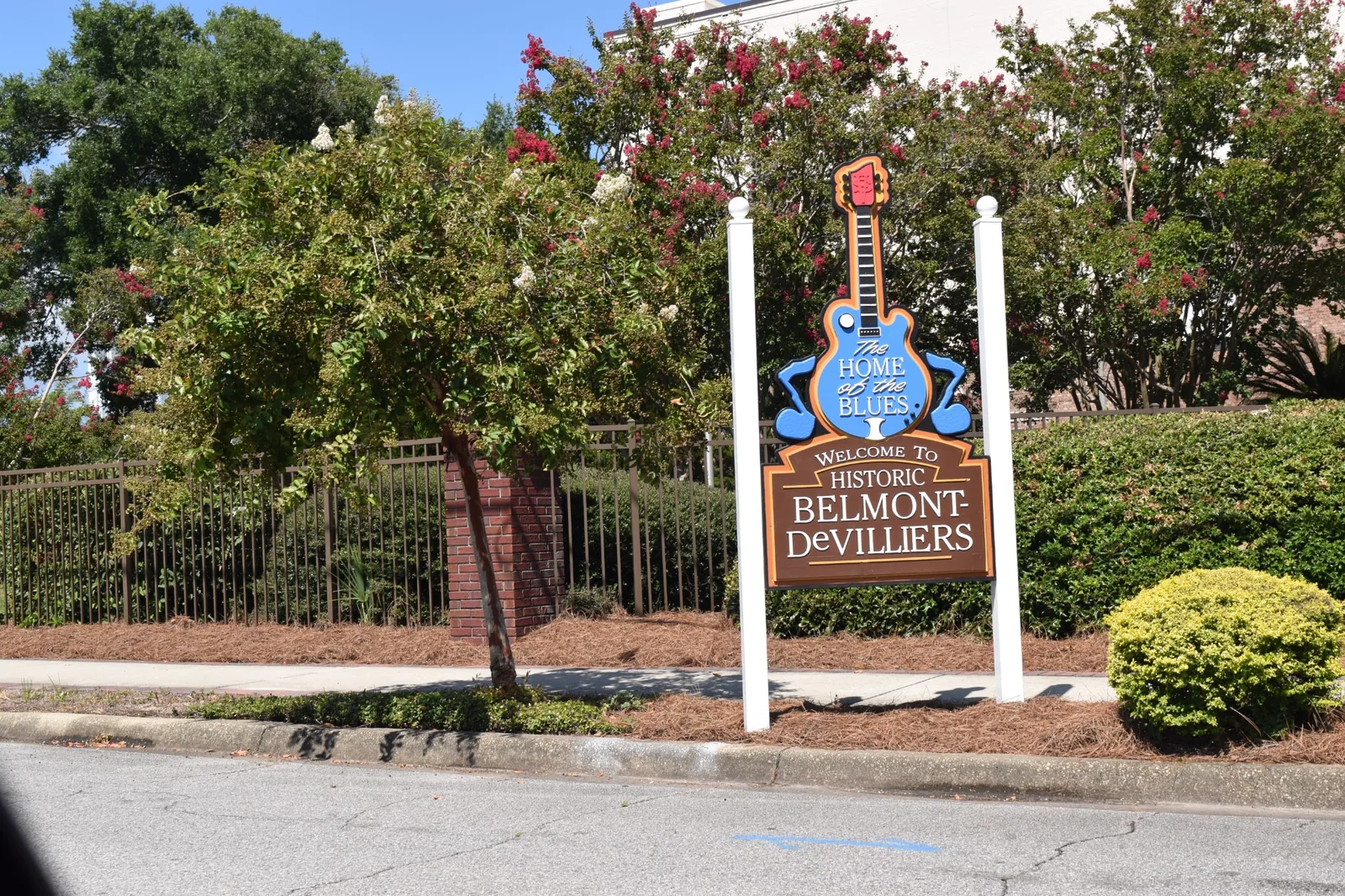
Just west of Downtown, Belmont-DeVilliers mixes residential streets with restaurants, businesses, churches and a historic commercial district. Here we'd tell you to get out of the car. Walk DeVilliers Street. Find the markers. Stop for something to eat. Understanding Belmont-DeVilliers isn't just about seeing the houses. It's about discovering what happened here.
Want the story behind it?They called it “The Blocks.” Louis Armstrong, B.B. King, Ray Charles, James Brown and Aretha Franklin are part of the story.
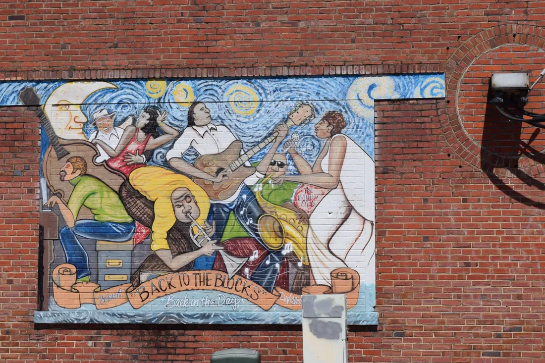
The intersection of Belmont and DeVilliers once sat at the center of one of Pensacola's most important Black business and entertainment districts, known as “The Blocks.” During segregation, Black Pensacolians built stores, restaurants, professional offices, churches and entertainment venues here. Belmont-DeVilliers became a stop on the Chitlin' Circuit, drawing performers including Louis Armstrong, Ray Charles, B.B. King, James Brown and Aretha Franklin. A Mississippi Blues Trail marker now recognizes that musical legacy. The building housing Five Sisters Blues Cafe was once Gussie's Record Shop, with WBOP—Pensacola's first Black-owned radio station—operating upstairs.
Pensacola › Warrington
Warrington
You can't tell Pensacola's Navy story without coming through here.
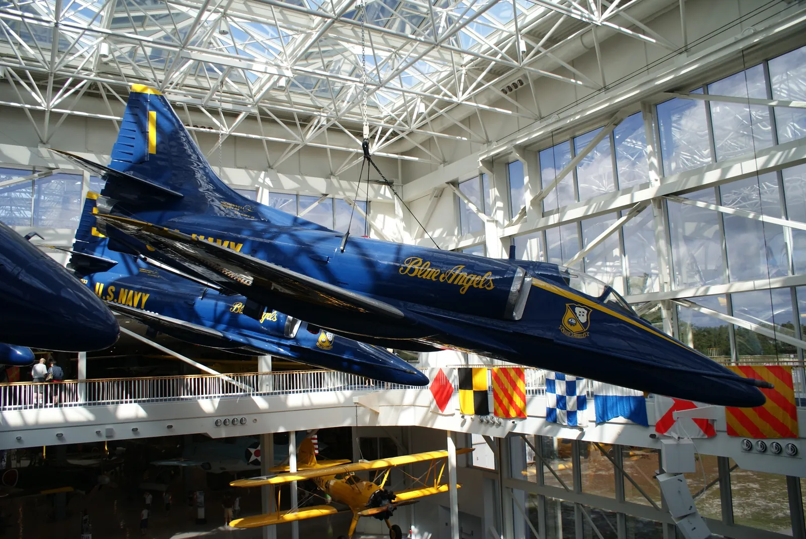
Head toward NAS Pensacola on Navy Boulevard and you're in Warrington—an established community whose relationship with the Navy goes back generations. You'll find modest older homes, mid-century properties, renovated houses and newer construction. Around Navy Point, Bayou Grande adds another dimension. And yes, the Blue Angels practice nearby. You'll hear them. You'll probably run outside to look. Eventually you'll hear them again—and still run outside to look. We get it.
Want the story behind it?The Warrington you're driving through isn't the original Warrington. The Navy needed the old town's land—so they moved the community.
The original Warrington developed in the 1840s beside the Pensacola Navy Yard and was named for Commodore Lewis Warrington. In 1930, expansion of the naval installation displaced old Warrington, and the community was reestablished across Bayou Grande. Nearby Navy Point developed during the early decades of naval aviation and later provided housing for pilots and their families. This corner of the bay also saw Civil War artillery exchanges between Union-held Fort Pickens and Confederate mainland positions.
Pensacola › Bellview
Bellview
Sometimes practical is exactly what you're looking for.
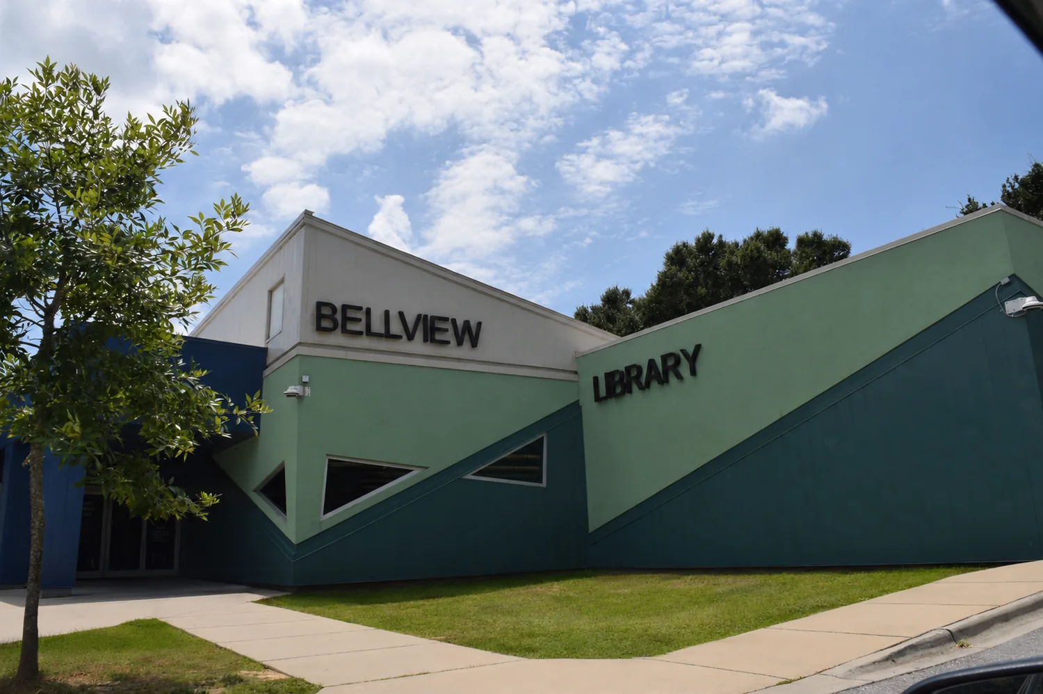
Bellview sits west of central Pensacola around Mobile Highway, Michigan Avenue and Blue Angel Parkway. It's a large established community with older homes, brick ranches, subdivisions, larger lots and newer construction. Its location gives you options east toward central Pensacola, south toward NAS and Perdido, north toward I-10 and west toward growing Escambia County. Not every place has to sweep you off your feet. Sometimes it just has to fit your life.
Want the story behind it?Bellview helps tell the story of Pensacola's steady march westward—from rural edge to a community of more than 25,000 people.
Bellview's story is really about Pensacola expanding around it. Roads such as Mobile Highway, Michigan Avenue and Blue Angel Parkway made what once felt well outside the city increasingly practical for residential development. Today Bellview is an unincorporated Escambia County community even though many addresses say Pensacola, and its decades of growth explain why the housing stock varies so widely.
Pensacola › Brownsville
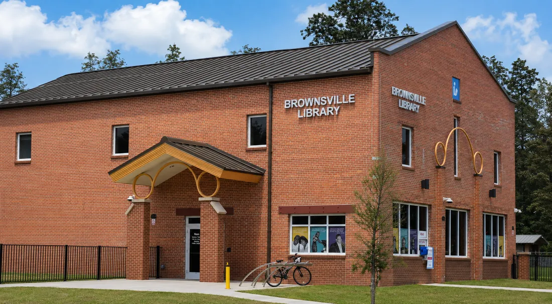
Brownsville
One of Pensacola's oldest suburbs may surprise you.
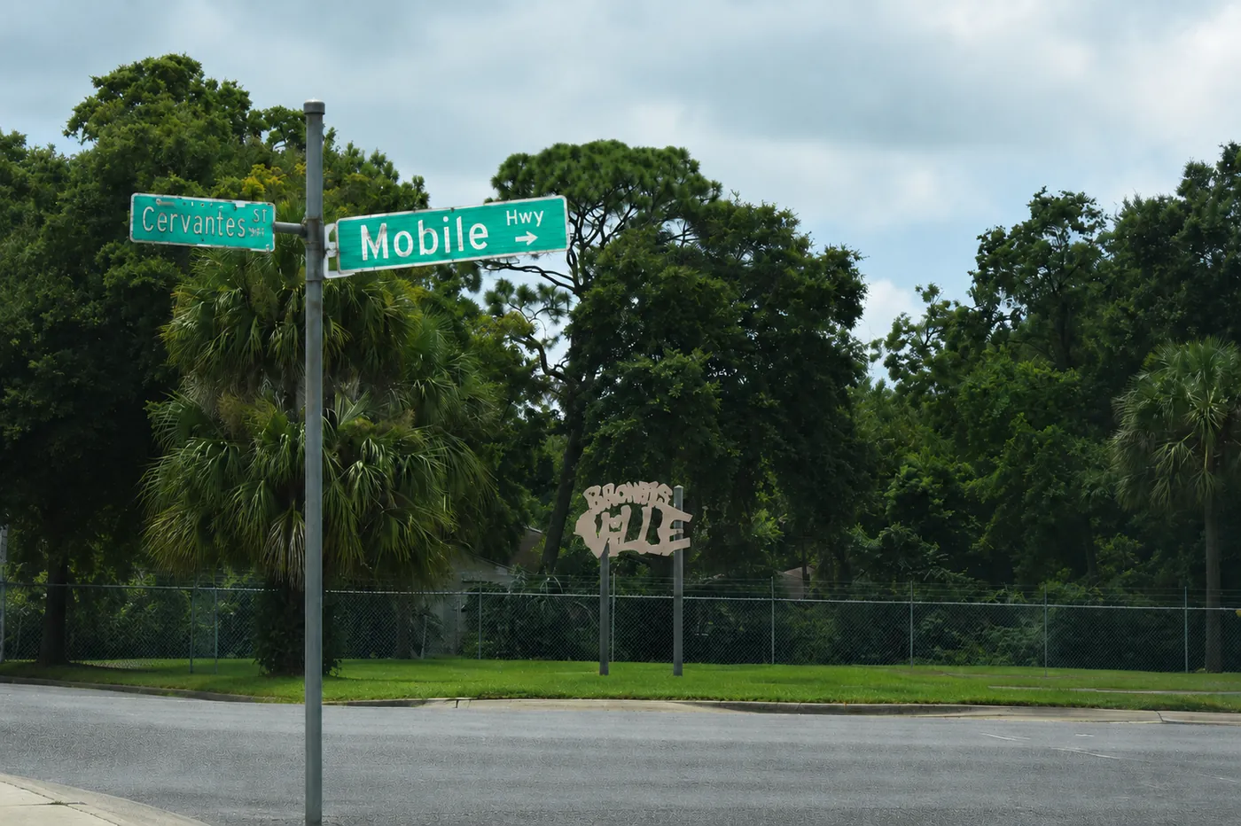
Just west of the city limits, Brownsville grew along West Cervantes Street and Mobile Highway as Pensacola expanded beyond its old boundaries. Today you'll find older homes, longtime residential streets, businesses and ongoing redevelopment—all remarkably close to Downtown. Don't judge it from the main road. Turn onto the residential streets and look at what has been restored, what's changing and what's around the property you're considering.
Want the story behind it?In 1908, Brownsville was essentially a new suburban development where working families could own a home, have a yard—and ride the streetcar into Pensacola.
In 1908, developer Lucius Screven Brown laid out a residential community west of established Pensacola so working families could own modest homes with yards. The streetcar made the commute possible. Brownsville kept growing as roads, water service and commercial development arrived; by the middle of the 20th century West Cervantes had grocery stores, restaurants, shops and movie theaters. Some early houses still survive around Gadsden Street.
Escambia County › Pensacola Beach
Pensacola Beach
Yes, people really do get to live here.
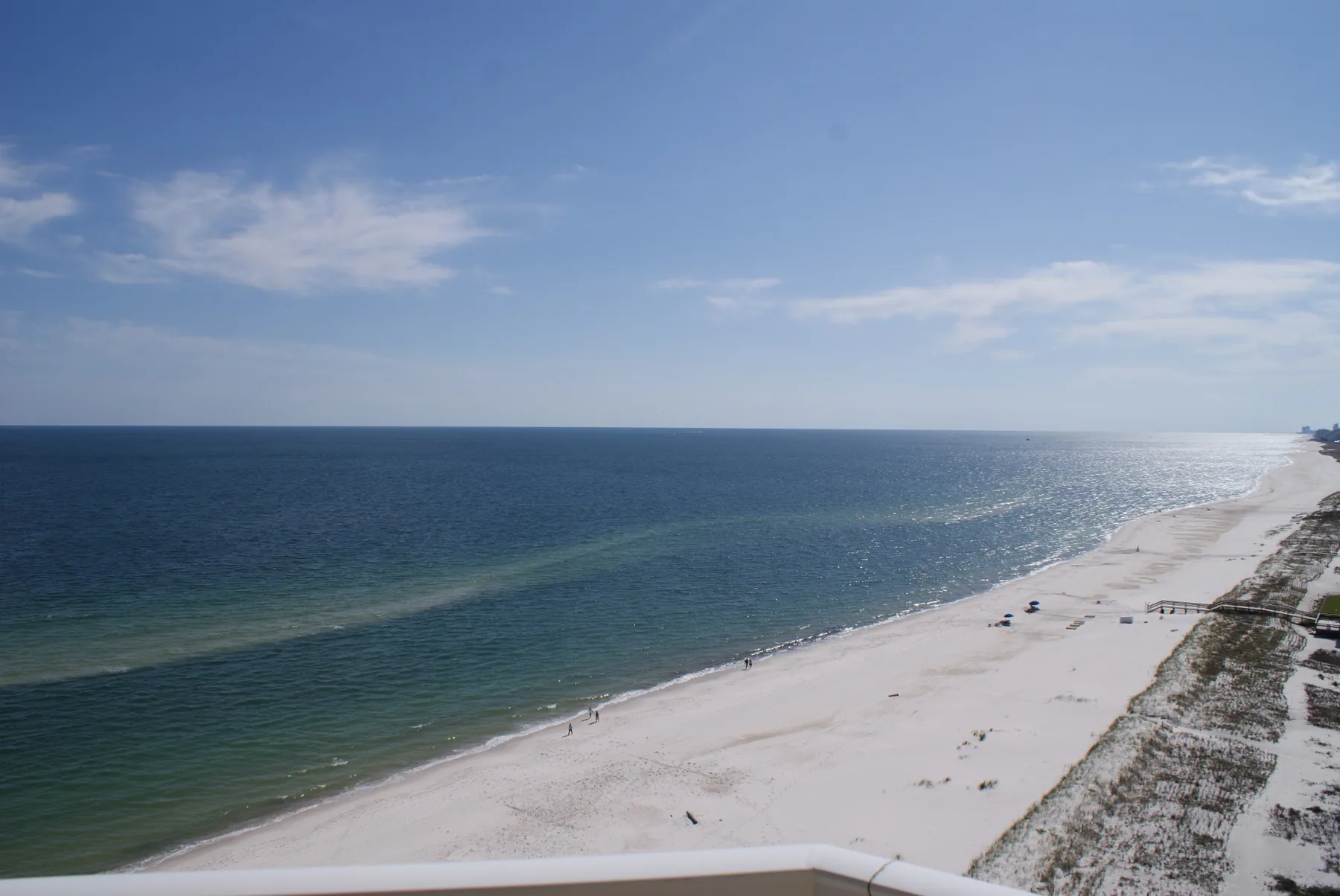
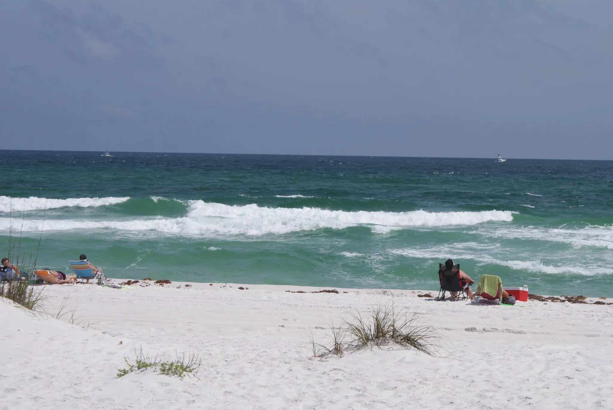
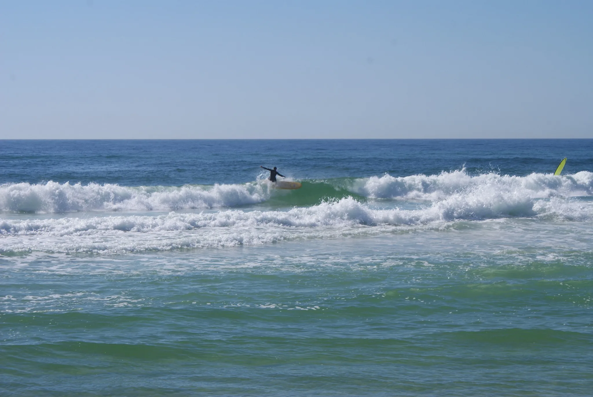
Cross onto Santa Rosa Island and it's easy to understand the attraction: white sand, emerald Gulf water, Santa Rosa Sound and sunsets that occasionally make you stop whatever you were doing. Pensacola Beach offers condos, single-family homes, waterfront properties and everything from full-time living to second homes and vacation rentals. Buying on a barrier island is different, though—insurance, storm exposure, condo finances, rental restrictions and the beach's leasehold system deserve attention.
Want the story behind it?Why Casino Beach? How do you leave Escambia County and somehow arrive back in it? And what do Geronimo, Fort Pickens and the Blue Angels have to do with all of this?
Pensacola Beach occupies the Escambia County portion of Santa Rosa Island, which is why you can leave Escambia, cross Gulf Breeze in Santa Rosa County and arrive back in Escambia on the beach. Casino Beach takes its name from the 1931 Pensacola Beach Casino, a recreational complex rather than a gambling hall. Farther west, Fort Pickens was completed in the 1830s and remained in Union hands during the Civil War. After Geronimo surrendered in 1886, he and a group of Apache warriors were imprisoned at Fort Pickens until 1888. Today the island also hosts the Blue Angels Pensacola Beach Air Show—history under your feet and blue-and-gold jets overhead.
Escambia County › Perdido Key
Perdido Key
Maybe being a little “lost” isn't such a bad thing.
Keep heading southwest from Pensacola and eventually the city starts disappearing. That's Perdido Key. The Gulf runs along one side, Old River and the Intracoastal Waterway along the other, with condos, townhomes, houses and waterfront communities in between. Johnson Beach and protected Gulf Islands National Seashore mean parts of the barrier island will stay remarkably undeveloped. The real question is simple: does Perdido feel too far out—or exactly far enough?
Want the story behind it?“Perdido” really does mean “lost.” We'll also tell you about the 17-year-old Pensacola hero behind Johnson Beach and military remains hidden at the remote end of the Key.
The name Perdido comes from the Spanish word for “lost.” Johnson Beach honors Private Rosamond Johnson Jr., a 17-year-old Pensacola serviceman killed in Korea in 1950 after carrying wounded soldiers to safety. During segregation, a beach available to Black residents was named for him; his name remained when the land became part of Gulf Islands National Seashore. At the remote end of the Key are remains from Pensacola's coastal-defense system, including the site of Fort McRee and later gun batteries.
Escambia County › Cantonment & North Escambia
Cantonment & North Escambia
Need a little more elbow room? Keep driving north.
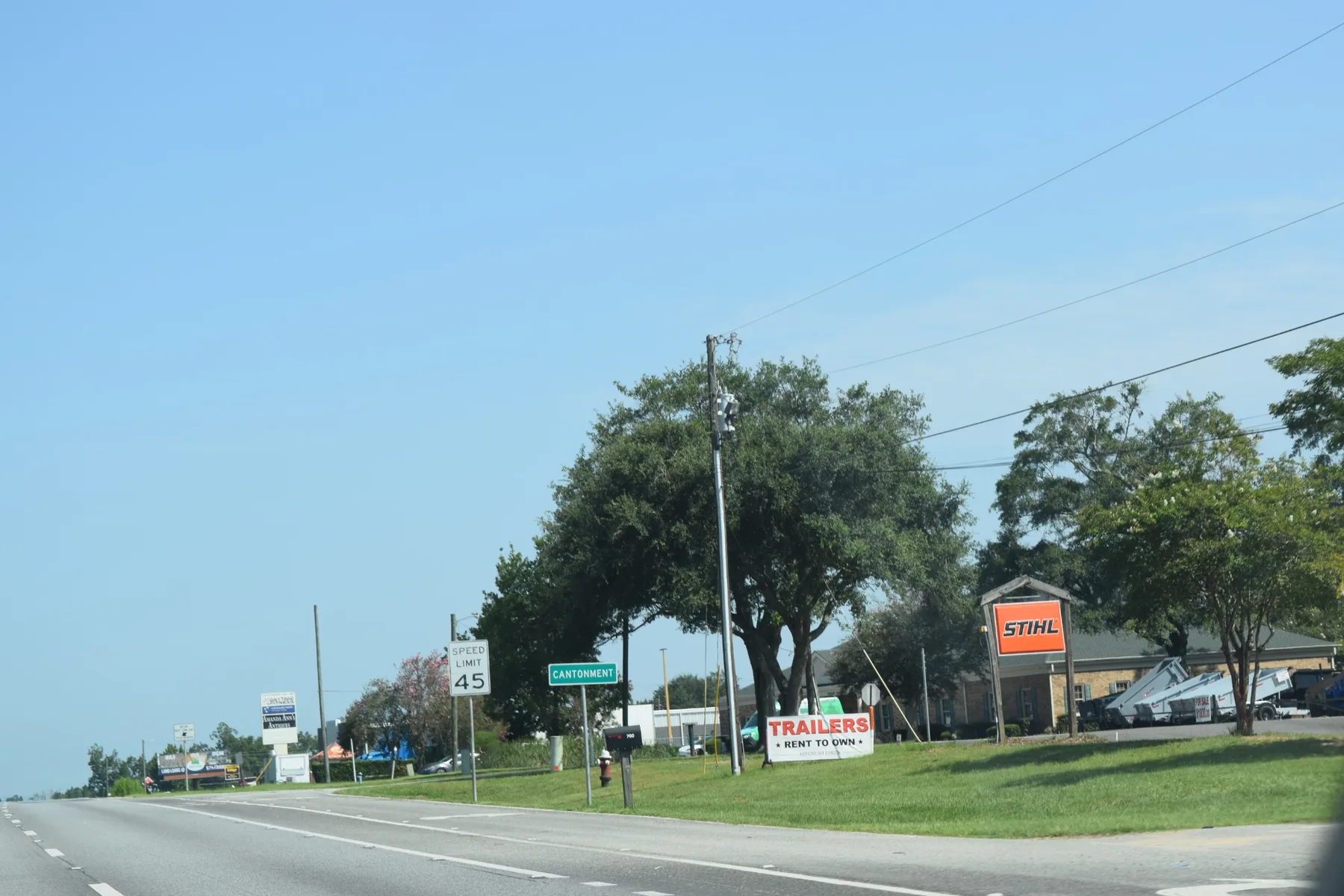
Head north from Pensacola and the landscape begins to open up. Cantonment, Gonzalez, Molino and surrounding areas mix established neighborhoods and newer subdivisions with larger lots, acreage, woods and increasingly rural surroundings. This is where our ears perk up when somebody says, “We'd really like some land.” Buying farther out brings different questions—septic or sewer, well or public water, internet, wetlands, easements and the real commute—but if room matters more than being ten minutes from Downtown, North Escambia deserves a look.
Want the story behind it?Why is a Florida community called Cantonment? The name has military roots—and the forests north of Pensacola helped fuel industries that shaped the whole region.
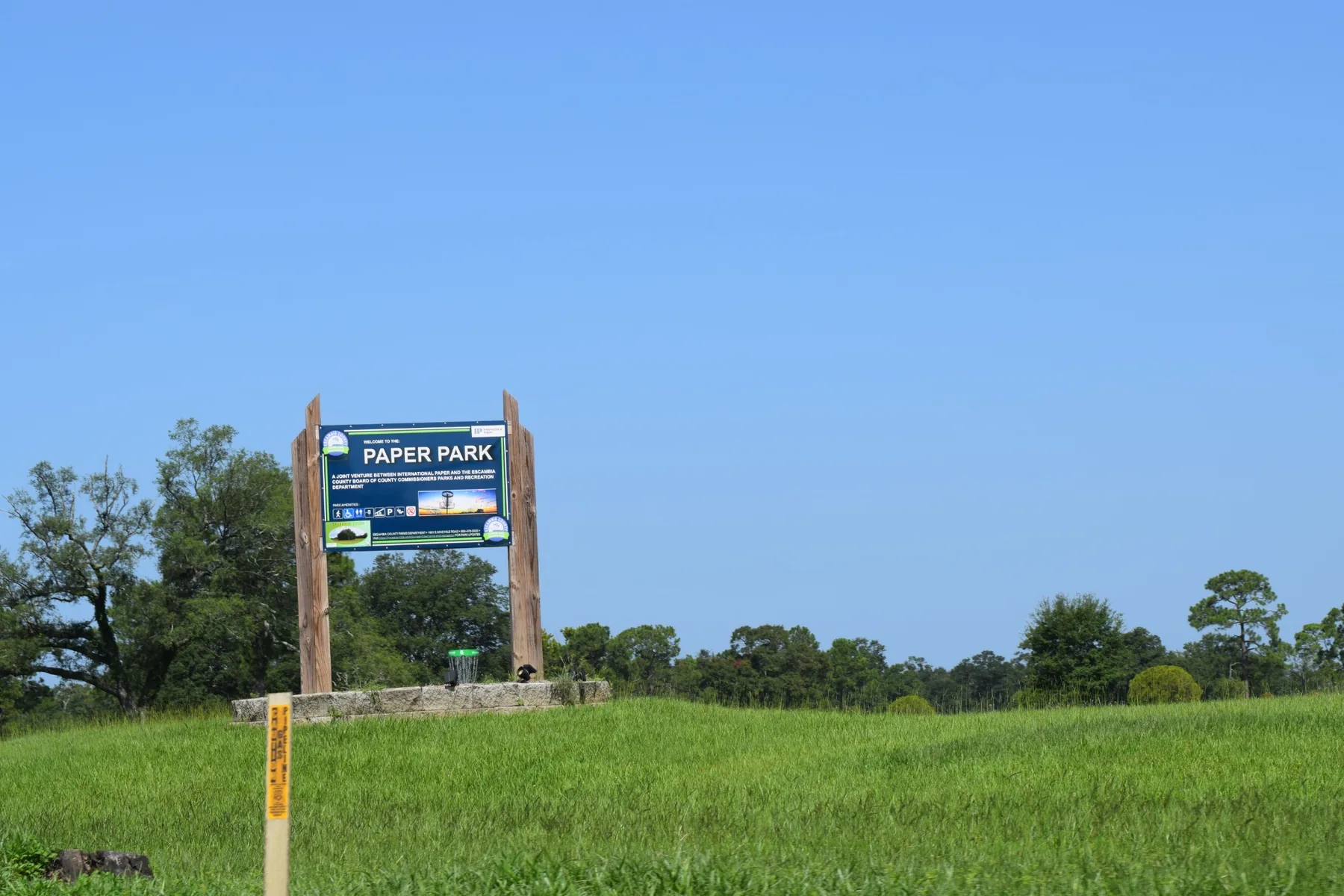
A cantonment is a military encampment or quarters for troops, and the community's name traces to military activity north of Pensacola during the 19th century. North Escambia was also timber country. Longleaf pine supplied lumber mills and the naval-stores industry, while railroads and waterways moved products toward Pensacola. Cantonment later became closely associated with its large paper mill. Rural North Escambia and historic Pensacola may look worlds apart, but the forests, railroads, mills and port were economically tied together.
Santa Rosa County › Pace
Pace
Cross the bay and watch Pensacola start changing.
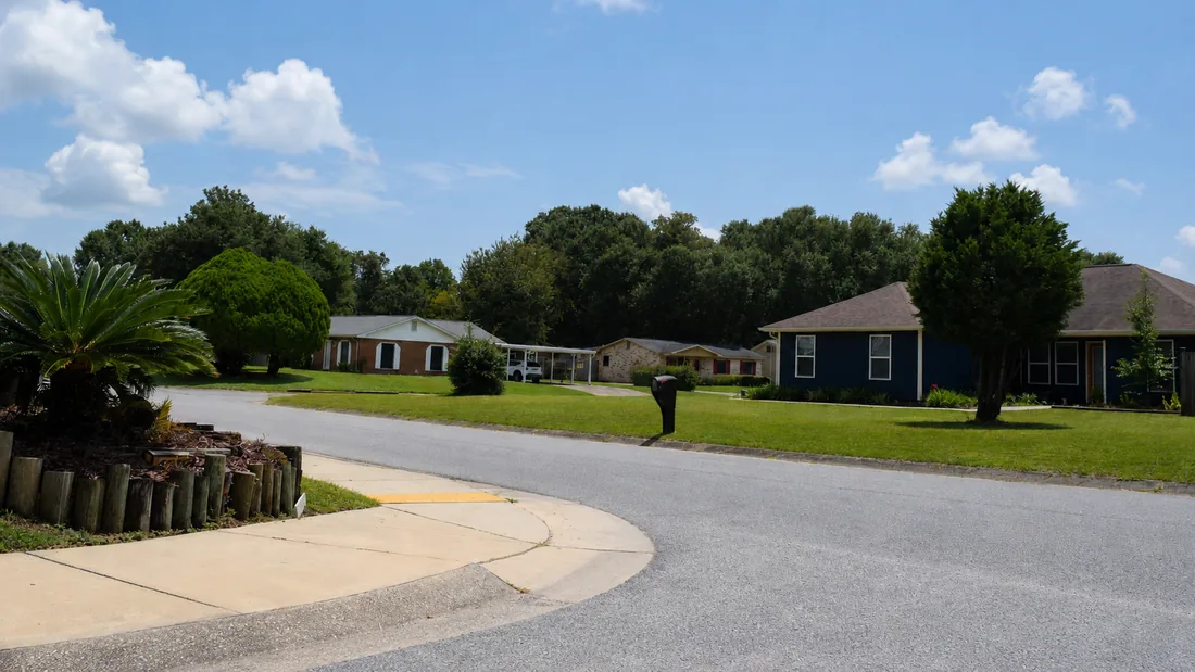
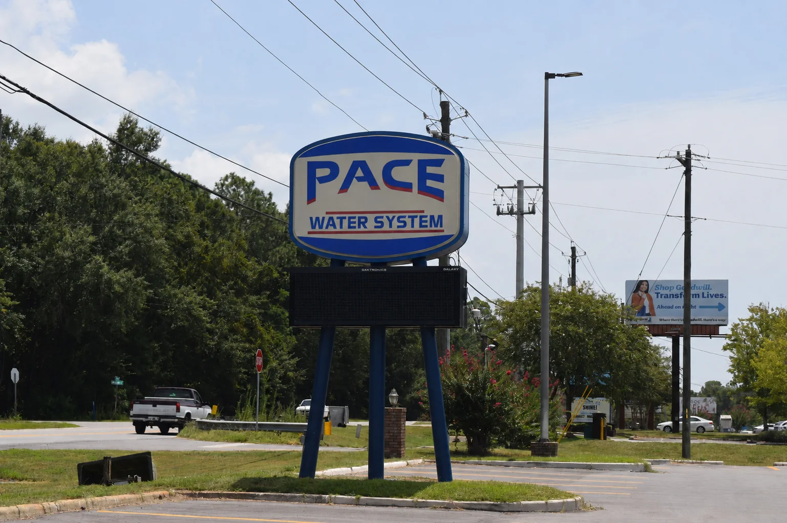
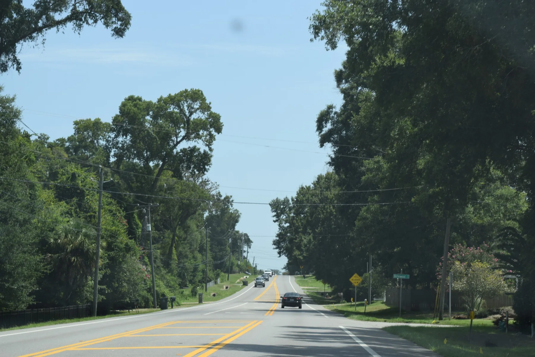
Pace has grown from a once-rural community into one of Northwest Florida's busiest residential areas. Along Highway 90 and Woodbine Road, shopping and everyday conveniences sit among established neighborhoods, newer subdivisions and continued development. For buyers, Pace can offer a different combination of newer homes, larger lots and price points than central Pensacola. If you work across the bay, though, we'll talk about the real commute—not the Sunday-morning version.
Want the story behind it?Yes, there really was a Mr. Pace. His story involves roughly 100,000 acres of Northwest Florida timberland.
James G. Pace arrived in the Pensacola area in the early 1900s and became a major timber operator. In 1904, Pace and associates acquired roughly 100,000 acres of longleaf pine and hardwood forest in Escambia and Santa Rosa counties along with a lumber operation at nearby Mulat. The community that developed nearby eventually took his name. Modern Pace looks dramatically different, but its roots connect directly to the lumber industry that shaped much of Northwest Florida.
Santa Rosa County › Milton
Milton
This isn't just the next town past Pace.
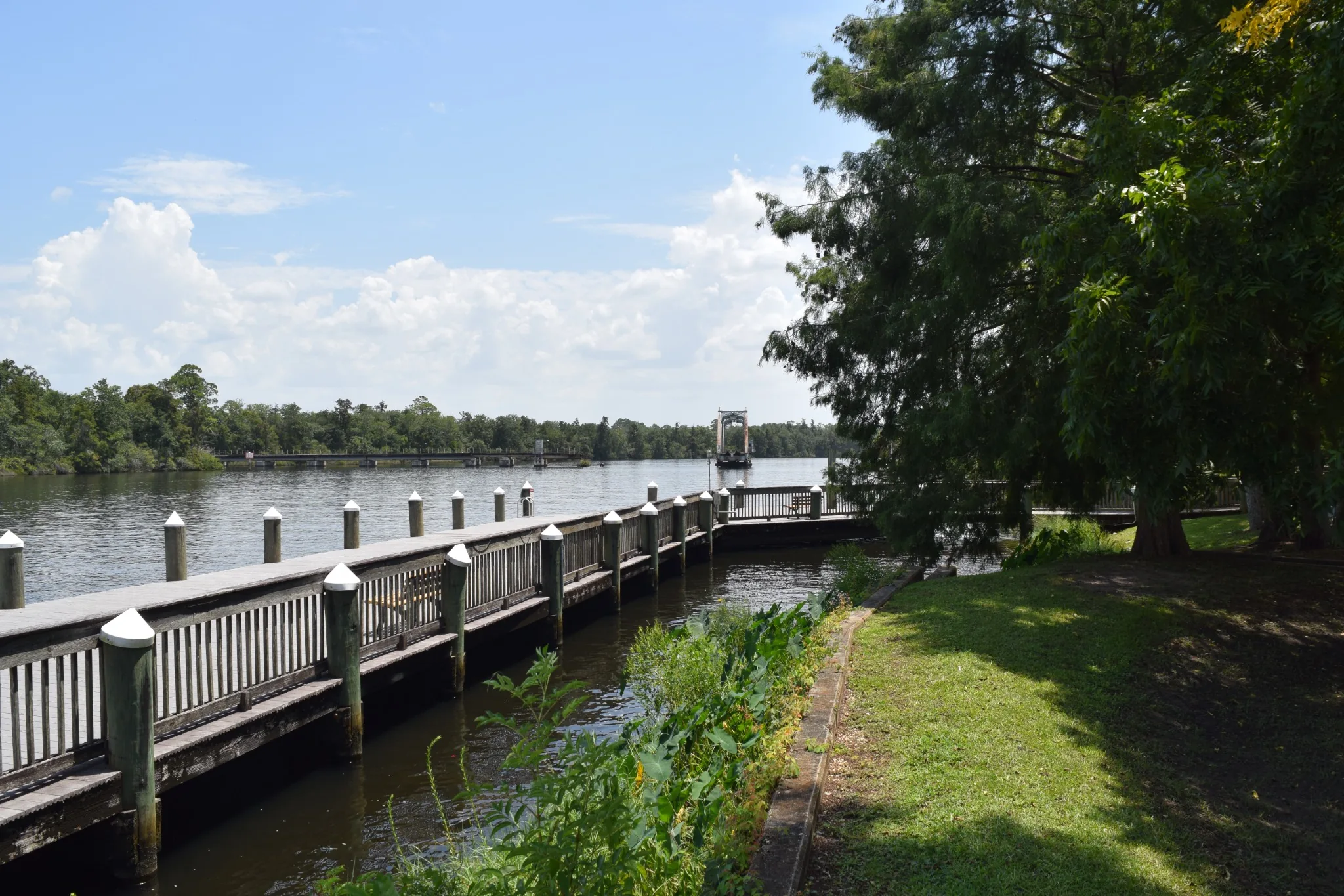
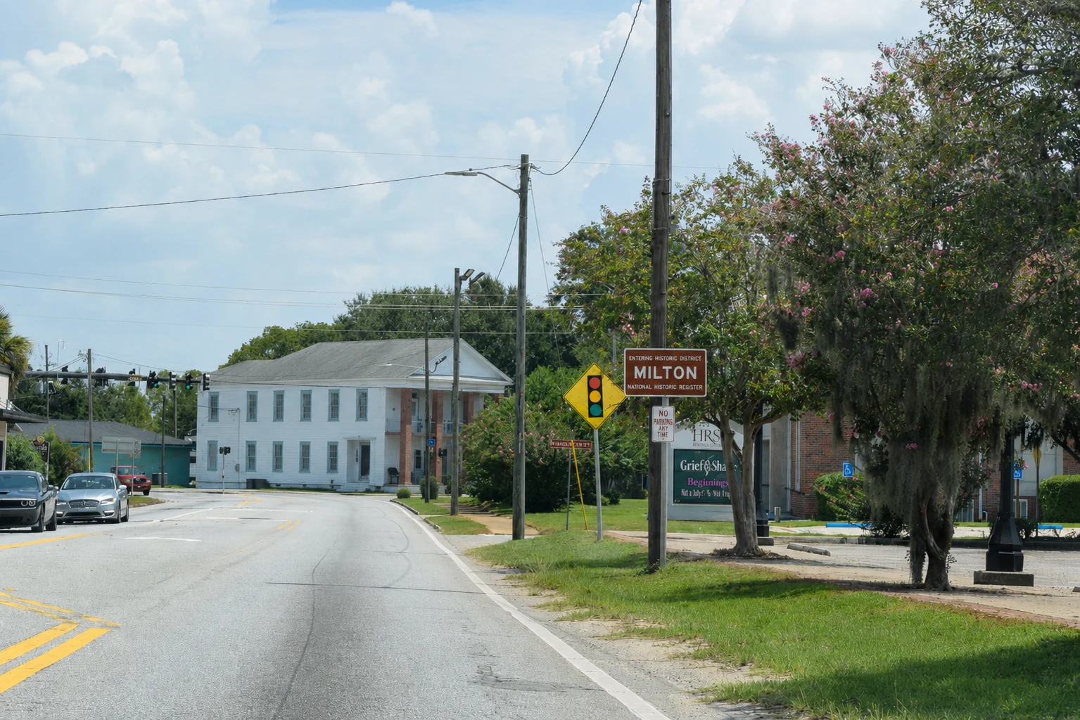
Centered around the Blackwater River, Milton has a historic Downtown, older residential streets, newer neighborhoods and increasingly rural options as you move outward. NAS Whiting Field makes military life an important part of the community. Milton feels different from Pace because it grew differently: this was a river town long before today's Highway 90 corridor. Start Downtown. Walk toward the Blackwater. Then we'll go find some houses.
Want the story behind it?Milton was incorporated before Florida became a state, survived three major downtown fires—and once answered to the nickname “Scratch Ankle.”
Before Milton was Milton, the settlement along the Blackwater River picked up the nickname “Scratch Ankle,” traditionally blamed on briars and brambles along the riverbanks. Milton became the Santa Rosa County seat in 1843 and was incorporated in 1844, a year before Florida became a state. The Blackwater supported lumber, bricks, naval stores and shipbuilding; later railroads pushed into the forests. Major fires struck in 1885, 1892 and 1909, forcing the commercial district to rebuild. During World War II, Whiting Field added naval aviation to a town already shaped by river, timber and rail.
Santa Rosa County › Gulf Breeze
Gulf Breeze
First things first: which Gulf Breeze?
There's the small City of Gulf Breeze at the end of the peninsula—and the much larger unincorporated area stretching east along Highway 98 that everybody also calls Gulf Breeze. We'll show you both. The city puts Pensacola across one bridge and Pensacola Beach across another; farther east, Tiger Point, Oriole Beach and other communities offer established neighborhoods, newer homes and waterfront living. Highway 98 and those bridges matter, so before falling in love with the location we'll figure out where you actually need to go every day.
Want the story behind it?In 1828, President John Quincy Adams protected the woods here to grow live oak for U.S. Navy warships. Naval Live Oaks became America's first federal tree farm.
Long before Gulf Breeze became a city, the U.S. Navy valued this peninsula for its live oak. The dense, naturally curving wood was prized for wooden warship frames, so President John Quincy Adams established a federal live-oak reservation here in 1828. Naval Live Oaks became the nation's first federal tree farm. Today more than 1,300 acres remain protected as part of Gulf Islands National Seashore, creating the remarkable stretch where Highway 98 suddenly passes through maritime forest between developed parts of the peninsula.
Santa Rosa County › Navarre
Navarre
Mainland or beach? That's our first question.
Navarre stretches along Highway 98 with established neighborhoods, newer communities and residential areas reaching north toward Highway 87. Hurlburt Field and Eglin Air Force Base increasingly enter the conversation here, especially for military relocations. Then there's Navarre Beach: cross Santa Rosa Sound and you're on Santa Rosa Island with white sand, Gulf water, homes and condos—and miles of protected shoreline just down the road. Two very different ways to live in the same community.
Want the story behind it?Eglin's enormous military reservation helped shape where this entire region could grow—and miles of Navarre Beach will remain protected rather than becoming another wall of development.
Look east of Navarre on a map and much of the green is Eglin Air Force Base. During the 1930s and World War II, the military expanded its bombing and gunnery range dramatically, incorporating nearly 384,000 acres of Choctawhatchee National Forest. That footprint still shapes roads, development and commuting. Across the bridge, Navarre Beach is influenced by a different kind of protected land: Gulf Islands National Seashore preserves miles of barrier island west toward Pensacola Beach. Navarre sits between military land on the mainland and protected national seashore on the island.
Still not sure?
Good. You don't have to know yet.
Tell us what matters—commute, water, older home, newer home, room to spread out, or just a feeling you can't quite name yet. We'll help narrow the map.